Summit Dreams: A Guide to Kumara Parvatha Trek with Four Itineraries (2024)
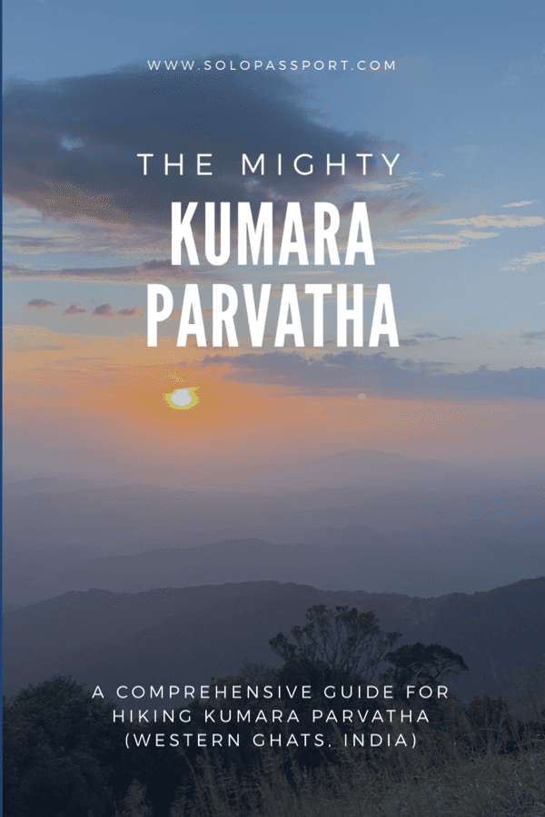
Embark on an extraordinary adventure through the lush landscapes and rugged terrains of Kumara Parvatha with our comprehensive guide. As you delve into this immersive journey of Kumara Parvatha Trek, you will unlock the secrets of one of Karnataka’s most captivating trekking destinations.
On my return to Kumara Parvatha, a mountain I had previously hiked about ten years ago, I presumed the trek would be a breeze. Vague memories of my experience fueled my confidence. After walking to Everest Base Camp, how challenging could Kumara Parvatha Trek be?
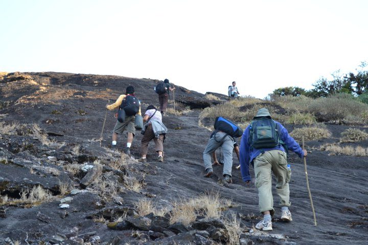
My ego faced a harsh reality check as I began the ascent. Kumara Parvatha humbled me, swiftly putting me in my place. It shattered any illusions of superiority, reminding me of the mountain’s formidable nature. The mountain I had assumed would be a mere stroll brought me back to Earth. Saturday morning, when I could have been comfortably nestled in bed, I was trekking through the forests, aiming for our first destination – Battara Mane.
Page Contents
PIN for later reference – Kumara Parvatha Trek
This article may contain affiliate links, meaning if you decide to purchase via my links, I may earn a commission at no additional cost to you. For complete information, please see our affiliate disclaimer here.
About Kumara Parvatha
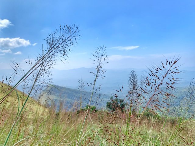
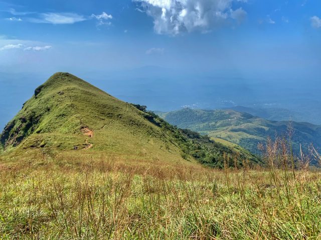
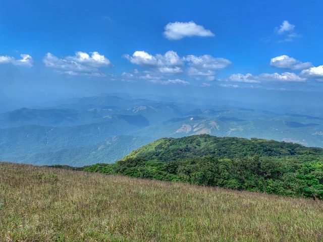
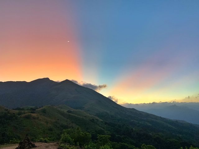
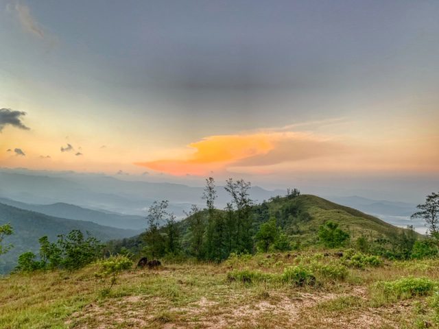
Before delving into the intricacies of my trek, allow me to provide some context. Kumara Parvatha is a revered symbol among trekkers—an emblem of challenge and conquest in South India. Renowned as one of the most formidable mountains, it commands respect due to its size and demanding terrain. Pushpagiri, also known as Kumara Parvatha, reaches an altitude of approximately 1712 meters (5617 feet), with the trek commencing at 420 meters. It proudly claims the title of the second-highest peak in the picturesque region of Coorg, Karnataka.
Kumara Parvatha Trek Details
Two distinct paths lead to the summit:
- The challenging ascent begins from Kukke Subramanya.
- The relatively more easy route commences from Somwarpet.
Important Information
- It is imperative to obtain permits from the forest officials, who meticulously count and inspect the plastics (bags and bottles) carried. Ensure these items are returned and adequately disposed of in the provided garbage bins at forest checkpoints. Please refrain from littering at all costs.
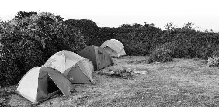
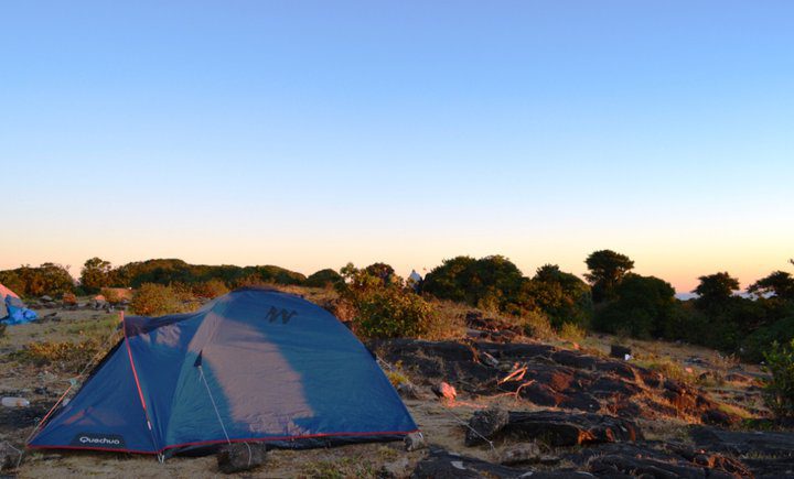
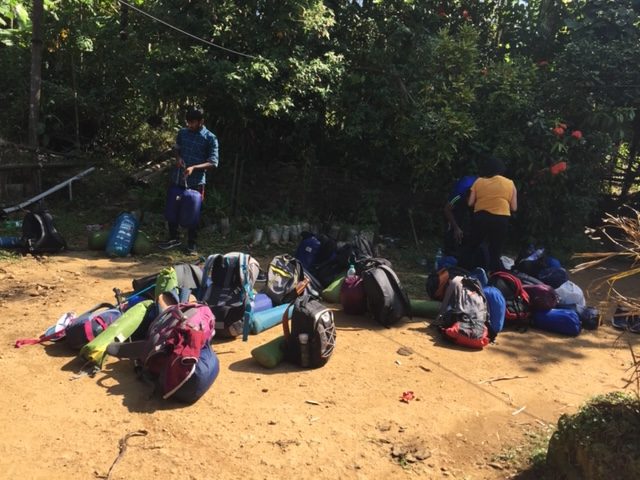
- Camping at the peak is strictly prohibited. The only designated camping area is at the forest checkpoint near Battara Mane.
- Transport your sleeping bags and tents to the Forest checkpoint, leaving them there as you ascend the peak with only a day pack containing water bottles.
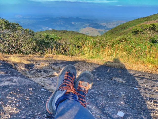
- Wear comfortable shoes and suitable clothing, considering the presence of snakes in the national park, even though encounters may be rare.
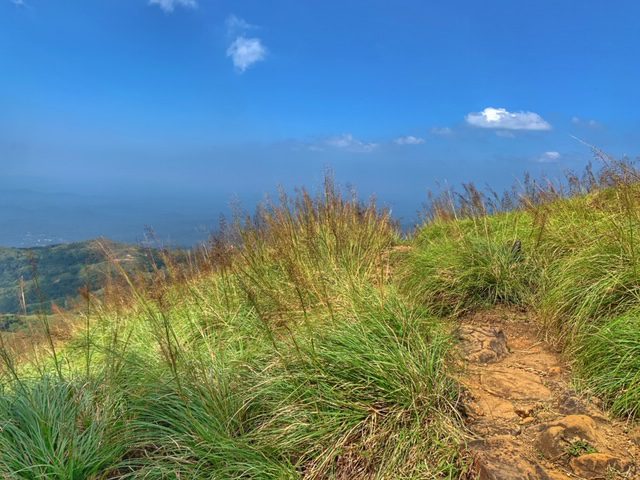
- Beyond a certain point, the trail transitions into grasslands, intensifying the heat and increasing the risk of dehydration. Carry a minimum of 2 liters of water, with opportunities to refill at 2 to 3 streams along the path and at Battara Mane.
- Basic toilet facilities are available at the Forest Checkpost and Battara Mane.
- Food arrangements can be made at Battara Mane.
- Exercise caution during monsoons, as the trail can become extremely slippery, particularly during the descent.
Various Itineraries for Kumara Parvatha Trek
Itinerary 1: From Somwarpet (2 days) – Moderate
Day 1: Embark on an overnight journey from Bangalore to Somwarpet, covering a distance of 237 kilometers. Since this is an overnight journey, it is not considered part of the day’s activities.
Day 2: Acquire necessary permits and commence the ascent from Somwarpet to Kumara Parvatha peak, spanning 7 kilometers. This section involves a steep climb. Spend some time at the peak, then descend from Kumara Parvatha to Forest Checkpoint towards Battara Mane, covering an additional 7 kilometers.
- Total Distance Trekked: 14 kilometres.
- Grade: Moderate.
- Path: Somwarpet – Kumara Parvatha – Shesha Parvatha – Battara Mane.
Camp overnight at the Forest Checkpoint.
Day 3: Descend from the Forest Checkpoint to Kukke Subramanya, covering a distance of 7 kilometers, and commence the return journey to Bangalore.
- Total Distance Trekked: 7 kilometres.
- Grade: Moderate.
- Path: Battara Mane – Kukke Subramanya.
Itinerary 2: From Kukke Subramanya (2 days) – Very difficult
Day 1: Embark on an overnight journey from Bangalore to Kukke Subramanya, covering a distance of 281 kilometers. Since this is an overnight journey, it is not considered part of the day’s activities.
Day 2: Ascend from Kukke Subramanya to Forest Checkpoint via Battara Mane, covering 7 kilometers. Obtain necessary permits and ascend from the Forest Checkpoint to Kumara Parvatha peak, spanning an additional 7 kilometers. After spending time at the peak, descend from Kumara Parvatha to the Forest Checkpoint, covering 7 kilometers.
- Total Distance Trekked: 21 kilometres.
- Grade: Very Difficult.
- Path: Kukke Subramanya – Battara Mane – Forest Checkpoint – Shesha Parvatha – Kumara Parvatha – Forest Checkpoint.
Camp overnight at the Forest Checkpoint.
Day 3: Descend from the Forest Checkpoint to Kukke Subramanya, covering 7 kilometers, and commence the return journey to Bangalore.
- Total Distance Trekked: 7 kilometres.
- Grade: Moderate.
- Path: Forest Checkpoint – Kukke Subramanya.
Itinerary 3: From Kukke Subramanya (2 days) – Difficult
Day 1: Commence an overnight journey from Bangalore to Kukke Subramanya, covering a distance of 281 kilometers. Please note that this being an overnight journey is not considered part of the day’s activities.
Day 2: Ascend from Kukke Subramanya to Forest Checkpoint via Battara Mane, covering a total distance of 7 kilometers.
- Total Distance Trekked: 7 kilometres.
- Grade: Moderate.
- Path: Kukke Subramanya – Forest Checkpoint.
Camp overnight at the Forest Checkpoint.
Day 3: Obtain necessary permits and embark on an ascent from the Forest Checkpoint to Kumara Parvatha Peak, covering 7 kilometers. After spending time at the peak, descend from Kumara Parvatha Peak to the Forest Checkpoint, covering an additional 7 kilometers. Continue the descent from the Forest Checkpoint to Kukke Subramanya, spanning 7 kilometers, and commence the return journey to Bangalore.
- Total Distance Trekked: 21 kilometres.
- Grade: Difficult.
- Path: Forest Checkpoint – Shesha Parvatha – Kumara Parvatha – Battara Mane – Kukke Subramanya.
Itinerary 4: From Kukke Subramanya (3 days) – Moderate
Day 1: Embark on an overnight journey from Bangalore to Kukke Subramanya, covering a distance of 281 kilometers. Since this is an overnight journey, it is not considered part of the day’s activities.
Day 2: Ascend from Kukke Subramanya to Forest Checkpoint via Battara Mane, trekking 7 kilometers.
- Total Distance Trekked: 7 kilometres.
- Grade: Moderate.
- Path: Kukke Subramanya – Battara Mane – Forest Checkpoint.
Camp overnight at Forest Checkpoint.
Day 3: Obtain necessary permits and begin the ascent from Forest Checkpoint to Kumara Parvatha peak, trekking 7 kilometers. After spending some time at the peak, descend from Kumara Parvatha peak to the Forest Checkpoint, covering an additional 7 kilometers.
- Total Distance Trekked: 14 kilometres.
- Grade: Moderate.
- Path: Forest Checkpoint – Shesha Parvatha – Kumara Parvatha – Forest Checkpoint.
Camp overnight at Forest Checkpoint.
Day 4: Descend from the Forest Checkpoint to Kukke Subramanya, trekking 7 kilometers, and start the journey back to Bangalore.
- Total Distance Trekked: 7 kilometres.
- Grade: Moderate.
- Path: Forest Checkpoint – Kukke Subramanya.
My Journey for Kumara Parvatha Trek
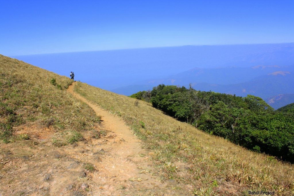
First Time from Somwarpet
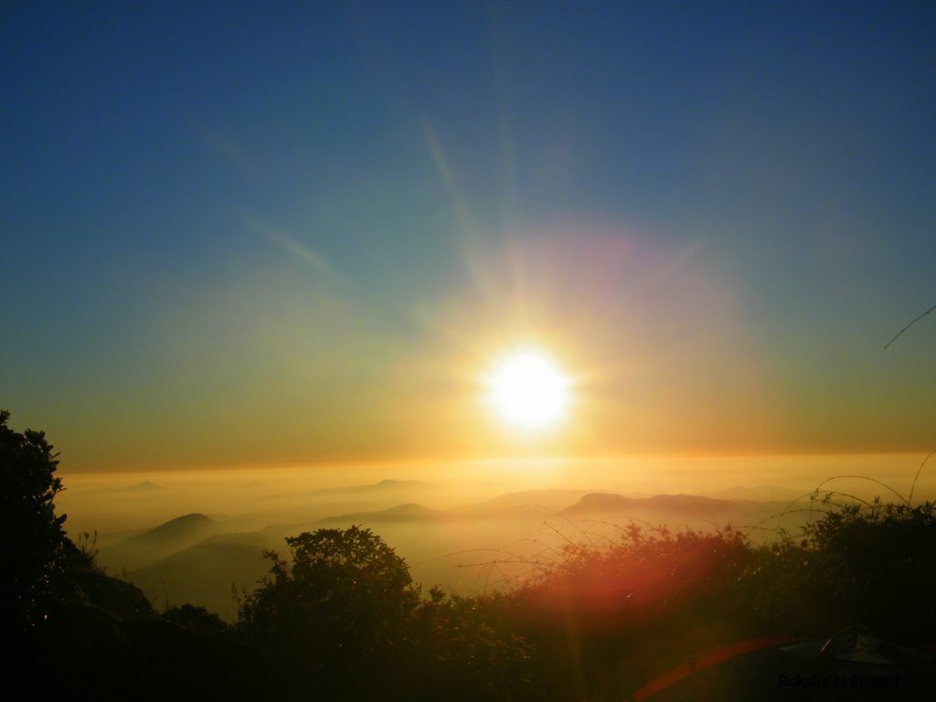
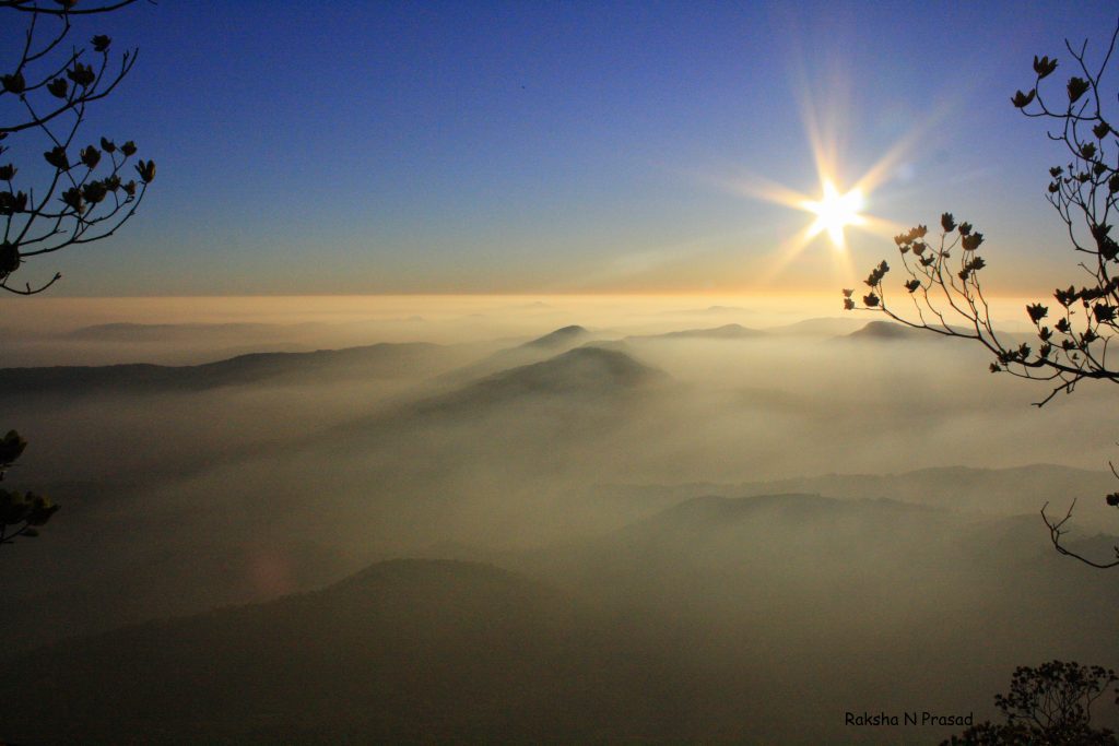
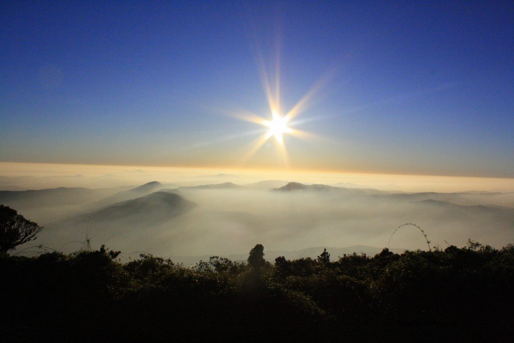
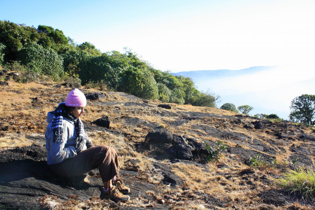
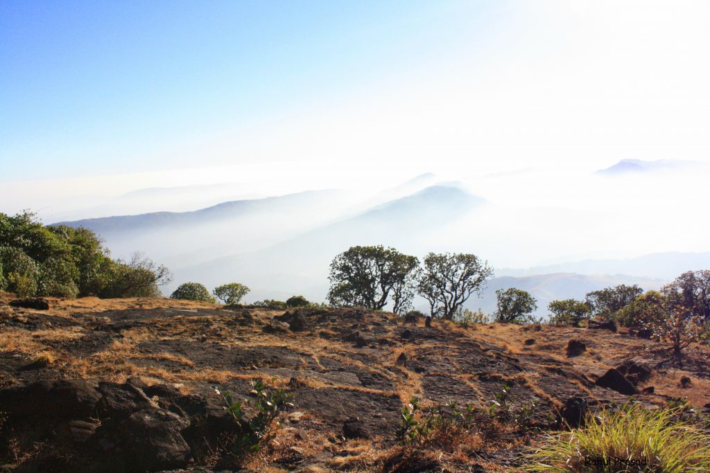
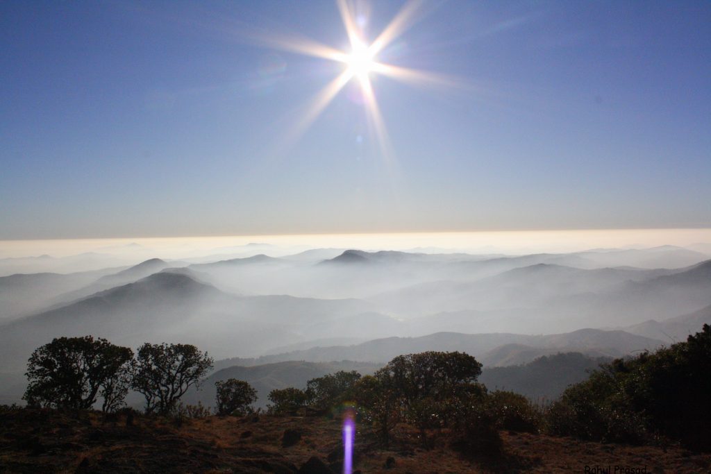
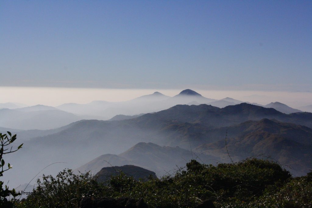
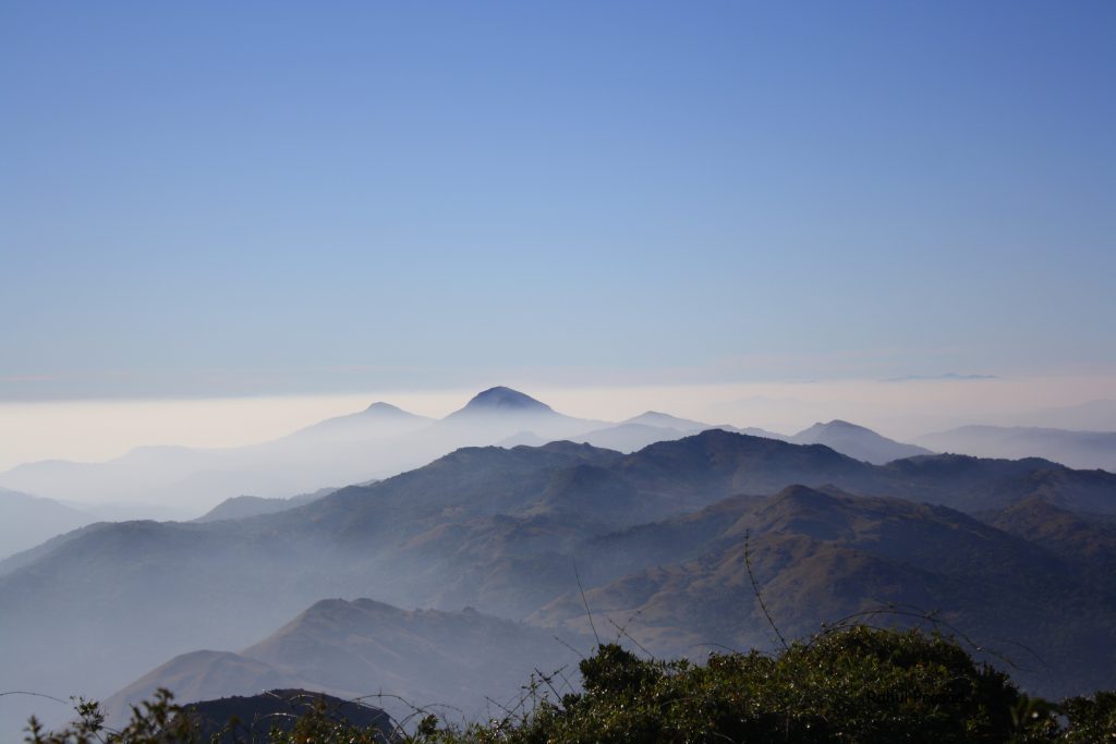
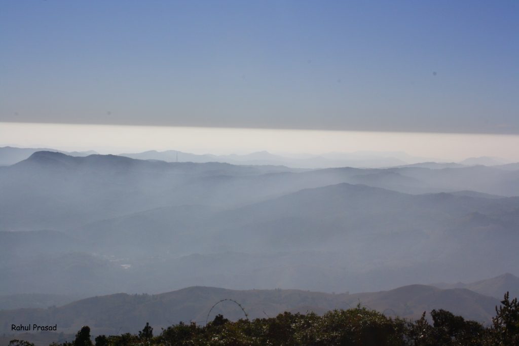
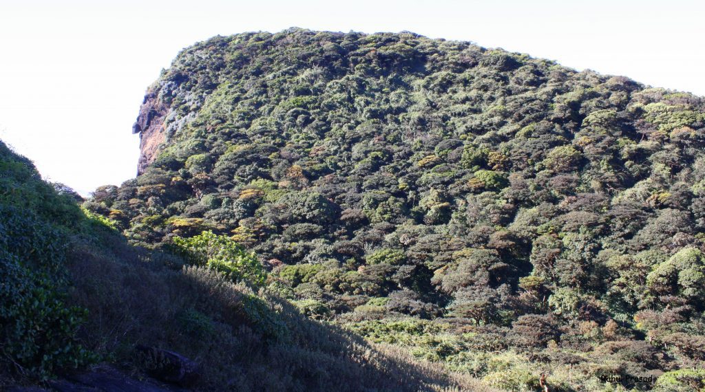
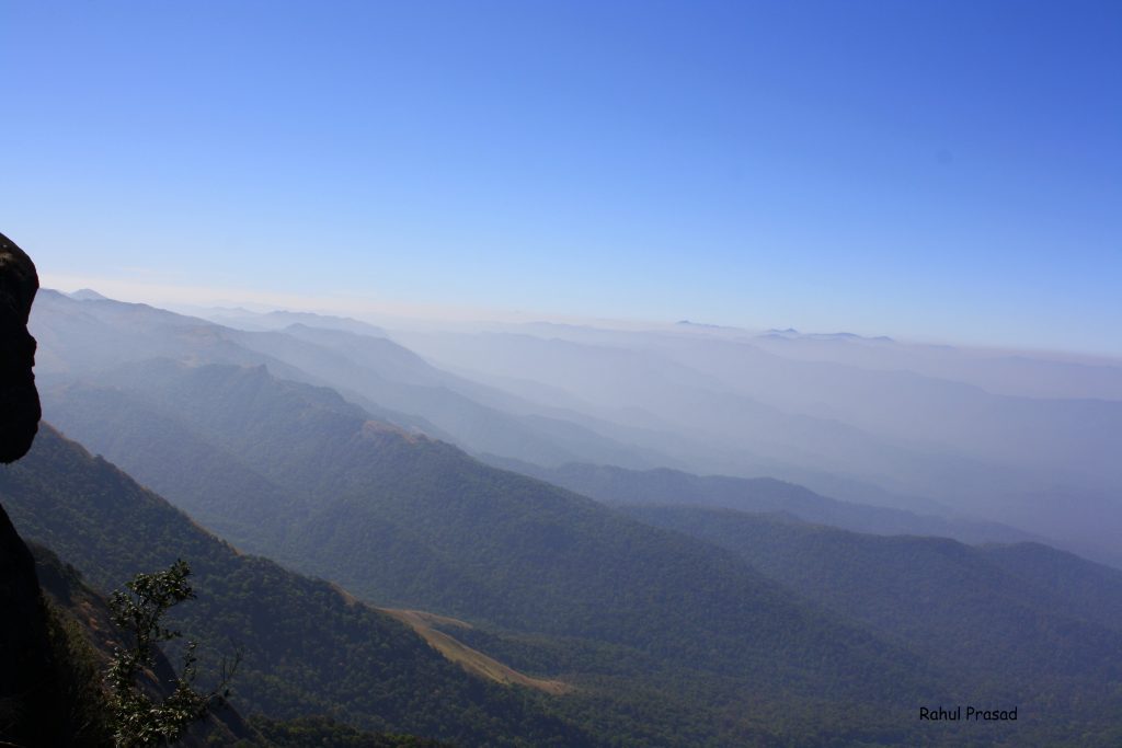
As previously mentioned, I have trekked Kumara Parvatha twice. The initial trek followed Itinerary 1, starting from Somwarpet. During that period, camping at the peak was permitted. Exotic Expeditions organized this trek, and I must commend the impeccable organization. Santosh, the organizer, proved to be an outstanding individual, ensuring the well-being of all participants throughout the trek.
- Trekking Agency Name: Exotic Expeditions.
- Cost: Approx. INR 2950 per person. This occurred quite a while back, so please refrain from quoting me.



Second Time from Kukke Subramanya
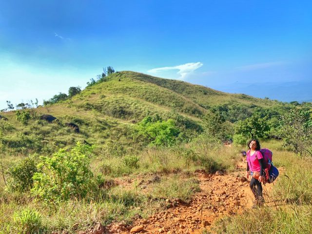
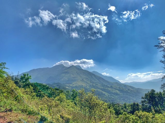
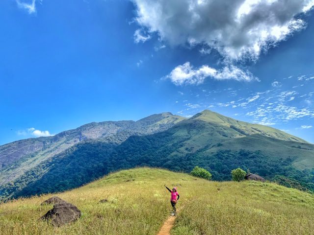
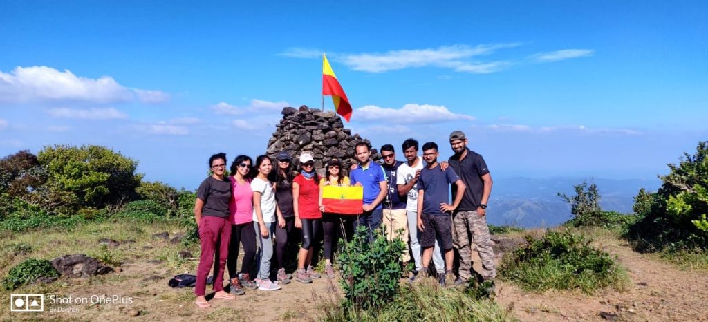
I pursued Itinerary 2 on the second occasion, commencing from Kukke Subramanya. Consequently, the trek proved highly challenging and stands out as the most arduous hike I’ve ever undertaken. I embarked on this adventure with the Bangalore Mountaineering Club India, where Nikhil and Sachin served as the coordinators, showcasing exceptional competence and dedication.
- Trekking Agency Name: BMC India.
- Cost: INR 3100 per person.


Closing Notes
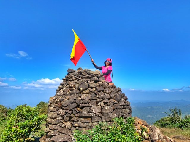
I take immense pride in completing this breathtaking trek. Kumara Parvatha Trek unquestionably deserves a spot on every trekker’s bucket list, an adventure that should be experienced at least once in a lifetime.
How can you support me?
You know how much I love coffee, so you can buy me a coffee – Buy me Coffee!
Or you can purchase from one of the below travel resources without any extra charge to you:
Travel Resources
Book your flight on Skyscanner.com or Trip.com
Reserve your accommodation on Stay22
Reserve your stay at a hostel on HostelWorld
Use RentalCars or DiscoverCars for hiring self-driven cars
Book your tours and travels or purchase tickets on Viator or GetYourGuide
For a universal SIM card, use DrimSim
Buy comprehensive travel insurance on SafetyWing and WorldNomads
If you liked this article and if it was helpful in your planning or travelling, do share, tweet, or pin this post.
Follow me on Instagram | Facebook | YouTube | Twitter | LinkedIn
Do you have a question? Do you want any suggestions and tips for travel, hikes, and scuba dives? Use the Subscription box below to sign up and get updates by email.
PIN for later reference – Kumara Parvatha Trek
